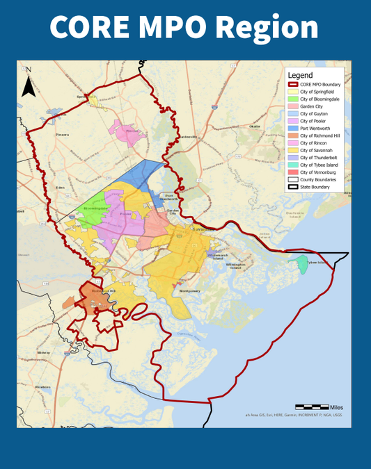

RICHMOND HILL – The Coastal Region Metropolitan Planning Organization is asking residents across the Savannah metropolitan area to help shape the future of walking and biking infrastructure through the CORE MPO Bicycle and Pedestrian Facility Study. The regional planning effort aims to improve safety, accessibility and connectivity for people who walk, bike or use mobility devices throughout the region. The study will compile data from existing local bicycle and pedestrian plans, inventory current sidewalks, trails and bikeways, and create a unified regional strategy for future transportation investments.
“We want to make sure everyone can get around their community in the safest and best way,” Erika Tate, the public engagement lead for the project, said.
Tate said the public survey asks residents how they travel through their communities, what barriers prevent them from walking or biking, and what improvements they would like to see prioritized. The survey also includes questions specifically for residents who use wheelchairs, walkers, scooters or other mobility devices.
“It’s not just if you’re able to ride a bike,” Tate said. “It’s also making sure sidewalks are ADA compliant, that you can get to the park too on whatever wheels that you have.”
Project officials have hosted public engagement events in Bryan, Chatham and Effingham counties.
The study is intended to “stitch the region together” by creating safer connections between neighborhoods, parks, schools, grocery stores and other everyday destinations.
Tate said one goal is to make it easier for residents to reach parks and services without relying on a car.
“You don’t have to drive to the park to do your riding and walking,” she said. “If you live nearby, that’s an option.”
The study also builds upon years of planning work already completed by local cities and counties. Turner said planners reviewed previous transportation and trail studies from across the region to identify recommended projects and gauge community support for them.
Aimee Turner, project engineer, said potential recommendations could include new bike lanes, sidewalk gap projects, shared-use paths, safer pedestrian crossings, traffic calming measures, intersection upgrades and improved connections to transit stops.
Early survey responses show safety remains the top concern among residents. Turner said about 40% of respondents said they feel uncomfortable walking in their communities, while nearly 60% reported feeling uncomfortable biking. Residents also identified fast drivers, missing sidewalks and bike lanes, unsafe intersections, poor lighting and disconnected trail systems as major barriers. About 80% of survey respondents said they rely on a car to get around.
The most requested improvements include filling gaps in sidewalks and trails, adding safer crossings, building protected bike facilities and creating greenway connections between neighborhoods.
Turner said the study could also help local governments compete for future transportation grants and federal funding opportunities. Projects included in the final adopted plan may become eligible for future state and federal transportation funding cycles.
The study is currently in its second phase, which focuses on identifying gaps and challenges in transportation across the region. Future phases will include needs assessments, public visioning sessions, project development and final recommendations through the end of 2026.
Residents can participate by completing the online survey, using the project’s interactive map, texting “COREBikePed” to 912-214-4944, or joining the project mailing list. These resources can be found at: https://www.corempobikeped.org/ The survey period will end May 31.