
A flood watch has been issued for our area for tonight.
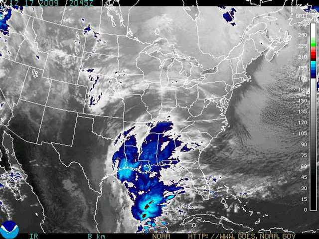
The National Weather Service's Charleston office issued the watch after a low pressure system developed in the Gulf of Mexico and started moving north-northeast, promising to bring heavy rain to South Georgia and North Florida Thursday night and Friday Morning.
Mike Hodges, director of the Liberty County EMA, passed on several alerts Thursday, pointing out 2-4 inches of rain could fall on the area.
The flood danger comes in because of earlier rains.
"Flooding from the system is likely die to the repeated weather systems dropping more than 15 inches of rain in areas of Southern and Southwest Georgia during the past two weeks," the NWS forecast said. "Already saturated soils throughout Southern Georgia will cause rainfall to immediately become runoff into streams and rivers, worsening ongoing flooding. Flash flooding will also be possible in areas receiving heavy rain and high rainfall totals in short periods of time.
The watch also includes flash flooding. A watch means the potential for the condition exists and area residents are encouraged to keep up with news reports increase flooding or flash floods start to develop.
The watch will run into Friday evening.